Staring at a wide, beautiful Paradise Valley lot and wondering how much of it you can actually build on? You are not alone. What you see on a map or tax record is rarely the full story. The true buildable area is defined by your building envelope, and it can be smaller and more complex than you expect.
In this guide, you will learn what a building envelope is, what shapes it in Paradise Valley, and how to read surveys and plats so you can assess feasibility before you design or list. You will also get a practical checklist and red flags to watch for. Let’s dive in.
Building envelope basics in Paradise Valley
A building envelope is the portion of a lot where you are permitted to place permanent structures after accounting for setbacks, easements, slopes, washes and flood zones, private covenants, and height or story limits. Think of it as both a horizontal footprint and a vertical box that defines where and how high you can build.
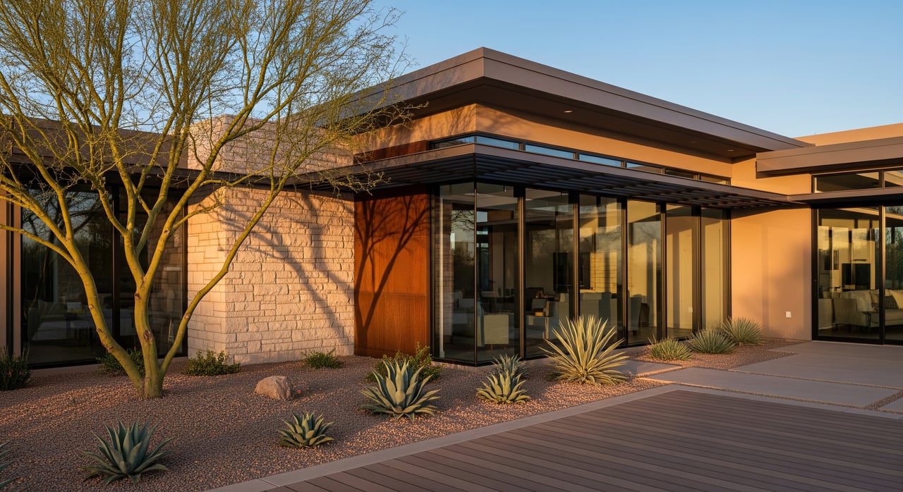
In Paradise Valley, lots are often large, irregular, and influenced by washes, view corridors, and hillside terrain. That combination can reduce your usable building area and drive critical design choices like pad location and grading. An early understanding of the envelope helps you avoid wasted design work, budget surprises, and delays at permitting or closing.
The practical takeaway: the lot square footage you see on the tax card or MLS is not the same as your buildable area. Confirm your envelope with a current survey, a preliminary title report, and a conversation with Town staff before you invest in plans.
What shapes your building envelope
Zoning setbacks and district controls
Zoning setbacks establish front, side, and rear buffer areas where buildings typically cannot be placed. Your zoning district may also control maximum height, lot coverage, and required open space. These rules vary by district and any local overlays. Verify your zoning, read the applicable ordinance sections, and request a zoning verification from the Town if anything is unclear.
Recorded easements and utility corridors
Utility, access, and drainage easements commonly cross Paradise Valley parcels. Most permanent structures are not allowed in these areas, and some utilities restrict landscaping or grading as well. A preliminary title report will list recorded easements, and an ALTA/NSPS survey will locate them on the ground.
Platted building lines and private setbacks
Recorded plats may show building or setback lines that function like additional setbacks. In some custom or historic subdivisions, these lines can be curved or angled to protect views. Always review the recorded plat for the exact lot to see if additional limits apply.
Washes, floodplain, and drainage
Desert washes and mapped floodplains can limit where you place buildings, grading, and on-site systems. If a wash crosses your lot, you may face specific no-build buffers and finished floor elevation requirements. Local and federal mapping helps identify these areas, and Town or county floodplain standards can affect design and cost.
Slopes and hillside development
Steep topography influences feasibility. Hillside standards can govern cuts and fills, require geotechnical reports, and restrict building near ridgelines or steep slopes. Expect added engineering and potential design review on sloped sites. Slope also affects access, retaining walls, and drainage solutions.
Utilities and septic
The availability and location of water and sewer matter. On-site septic, when necessary, comes with separation requirements from structures, property lines, and washes. Existing or proposed utility laterals, meters, or septic fields can narrow your buildable footprint.
CC&Rs and design review
Many Paradise Valley neighborhoods have CC&Rs and architectural review guidelines that add private rules such as stricter setbacks, height caps, or step-backs. These can be more restrictive than municipal code and often carry their own review timelines.
Title exceptions and encroachments
Unrecorded walls, fences, or driveways that cross boundaries can complicate siting. Recorded encroachments and restrictive covenants listed as title exceptions may also affect where you can build. Identifying these early avoids disputes and redesign.
How to read surveys and plats
Documents to obtain early
- Preliminary title report with easements, covenants, and exceptions.
- Recorded plat or subdivision map from the county recorder.
- ALTA/NSPS land title survey or boundary/topographic survey by a licensed surveyor.
- Town zoning verification, zoning map, and applicable code sections.
- FEMA and local floodplain or wash maps.
- HOA/CC&Rs and any prior permits or plans.
Key features to spot on surveys and plats
- Boundary lines and dimensions. Confirm the survey matches the deed’s legal description.
- Easements. Look for labels like 10' U.E., 20' PUE, or drainage/access designations.
- Building or setback lines. Often shown as dashed lines labeled B/L or Setback.
- Contours and spot elevations. These reveal high/low points and slope.
- Benchmark and vertical datum. Needed for flood elevation checks.
- Improvements and encroachments. Note any overlaps into setbacks or easements.
- Note blocks and references. Read instrument numbers and plat notes that may govern building.
Quick way to approximate your buildable area
- Start with the lot boundary from a current survey or recorded plat.
- Subtract front, side, and rear zoning setbacks by drawing the buffers inward.
- Subtract recorded utility, access, and drainage easements that prohibit structures.
- Subtract mapped wash or floodplain areas that limit building.
- The remainder is your candidate envelope. You will still need to confirm vertical limits, slope impacts, and any design review requirements before finalizing.
Interpreting slopes and terraces
Use contour spacing to judge steepness. Tight contours mean steeper slopes. A simple estimate of slope percent is vertical change divided by horizontal distance times 100. For example, a 10-foot drop over 50 feet is about 20 percent slope. Steeper slopes can trigger hillside standards and added engineering.
Practical steps before you design or list
If you are buying a parcel
- Order an ALTA/NSPS survey or, at minimum, a boundary and topographic survey.
- Obtain a preliminary title report and review all easements and CC&Rs.
- Consult Town planning staff for a zoning verification and pre-application guidance.
- Check FEMA and local wash mapping for flood or drainage constraints.
- Engage a local architect or civil engineer for a feasibility study. Add geotechnical input if slopes or soils are a concern.
- Verify water, sewer, gas, and electric service. If no sewer, confirm septic feasibility.
- Factor HOA design review timelines and standards into your plan.
If you are selling a vacant parcel
- Assemble a clear due diligence packet: recorded plat, recent survey, title report, zoning designation, known utilities, and any slope or wash information.
- Consider ordering an updated ALTA survey to support financing and reduce contingencies.
- Include copies of past permits or plans if available and relevant.
- Disclose known encroachments, disputes, or constraints to prevent issues later.
Variances and common paths
When setbacks or standards prevent reasonable use, you may pursue a variance or administrative relief. Approval is case-specific and not guaranteed. You will need to demonstrate hardship and minimal neighborhood impact. Some minor projections may be allowed as permitted encroachments under code. Discuss options with Town staff early.
Red flags to catch early
- A wash or floodway covers a large portion of the lot.
- Multiple or wide easements consume the flat area you planned to use.
- Significant slopes or ridgelines limit access or pad size.
- The legal description, tax map, and survey do not match.
- Neighbor walls or pools encroach near your planned build area.
- CC&Rs restrict second stories or impose tight height caps that affect value.
What to include in a feasibility packet
- Recorded plat and instrument numbers.
- ALTA/NSPS survey or recent boundary/topographic survey.
- Preliminary title report with all easements and exceptions.
- Town zoning verification, including district, setbacks, height, and lot coverage.
- FEMA flood map excerpts and local wash or floodplain mapping.
- Utility availability letters or maps for water, sewer, gas, and electric.
- HOA CC&Rs and architectural guidelines.
- Prior permits, site plans, or grading history if applicable.
- Geotechnical report if slopes or soils warrant it.
- Contact information for Town planning staff and your licensed surveyor or engineer.
A clear view of your building envelope is the foundation of a smooth Paradise Valley lot purchase or sale. With the right survey, title review, and early Town coordination, you can plan confidently, avoid redesigns, and protect value. If you want an advisor who treats your lot like a fiduciary assignment and can coordinate the right experts, connect with Brad Qualley to discuss your goals and Request a Confidential Home Valuation.
FAQs
In Paradise Valley, what is a building envelope?
- It is the area of your lot where a permanent structure can be placed after accounting for zoning setbacks, recorded easements, slopes, washes or flood zones, height limits, and any CC&Rs.
How do setbacks and easements affect my buildable area?
- Setbacks push your buildable footprint inward from property lines, while easements typically prohibit structures within their boundaries, both reducing the horizontal area you can use.
Can I build in a utility easement if it looks unused?
- Generally no; recorded utility easements remain enforceable, and utilities can require removal of structures within them unless the easement is formally vacated.
Do hillsides limit two-story homes in Paradise Valley?
- They can; hillside standards, view protections, and height limits may restrict vertical placement or require step-backs and engineering, so review early with Town staff and your design team.
Can setbacks be reduced with a variance?
- Variances are possible in limited cases but require a formal application, proof of hardship, and are not guaranteed; plan for the standards as written until relief is approved.
What survey should I order to evaluate a lot?
- An ALTA/NSPS land title survey is ideal for serious due diligence because it combines boundary, easement, and improvement data; a boundary/topographic survey is a minimum starting point.
Who should I contact to verify zoning on a Paradise Valley lot?
- Start with Town Planning and Zoning staff for a zoning verification letter, applicable code sections, and to identify any overlays or prior approvals on the parcel.